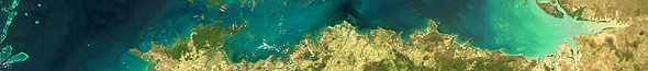
Cape Werde
24. March 2005,
orbit: 16023


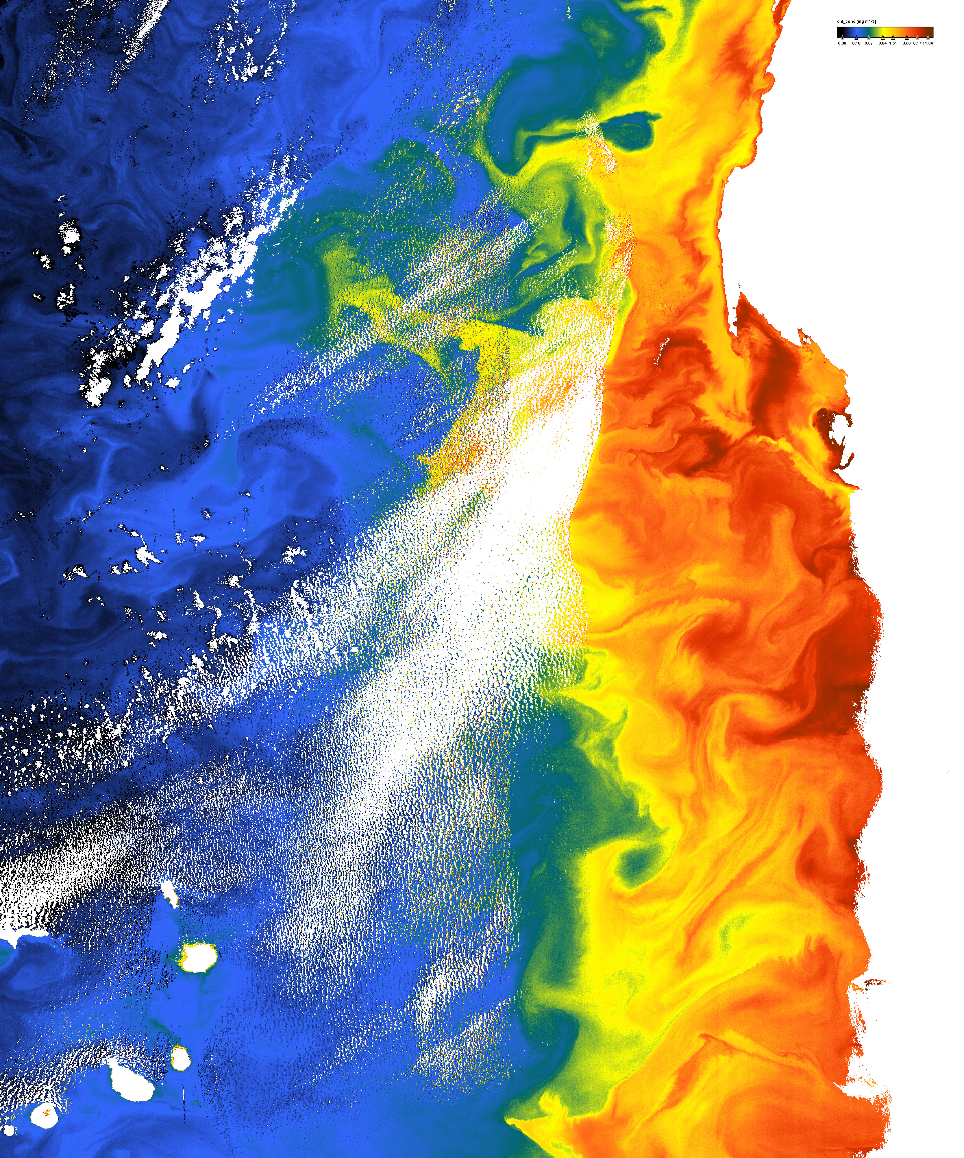
Chlorophyll concentration


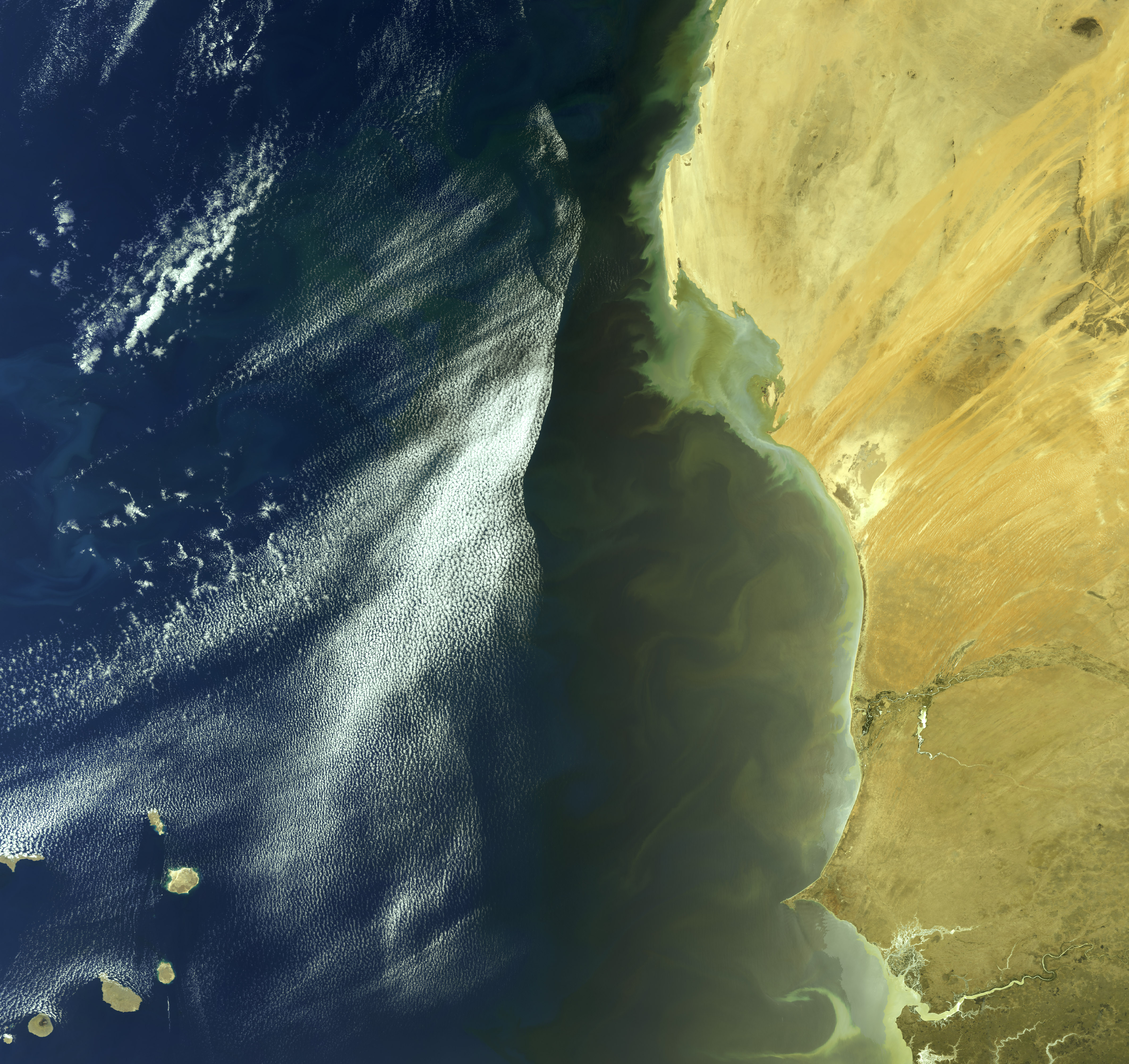
Concentration of total suspended matter


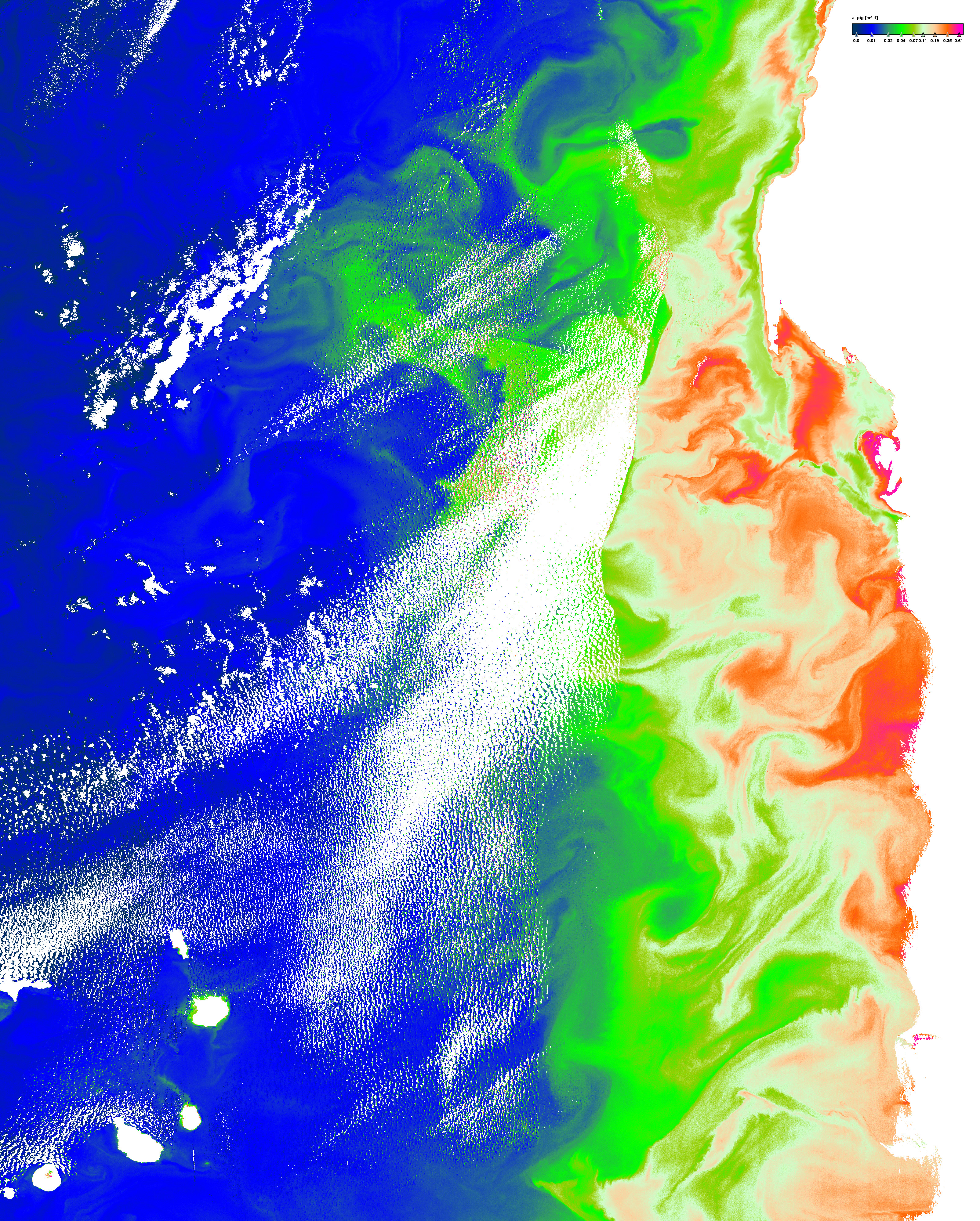
Pigment absorption coefficient


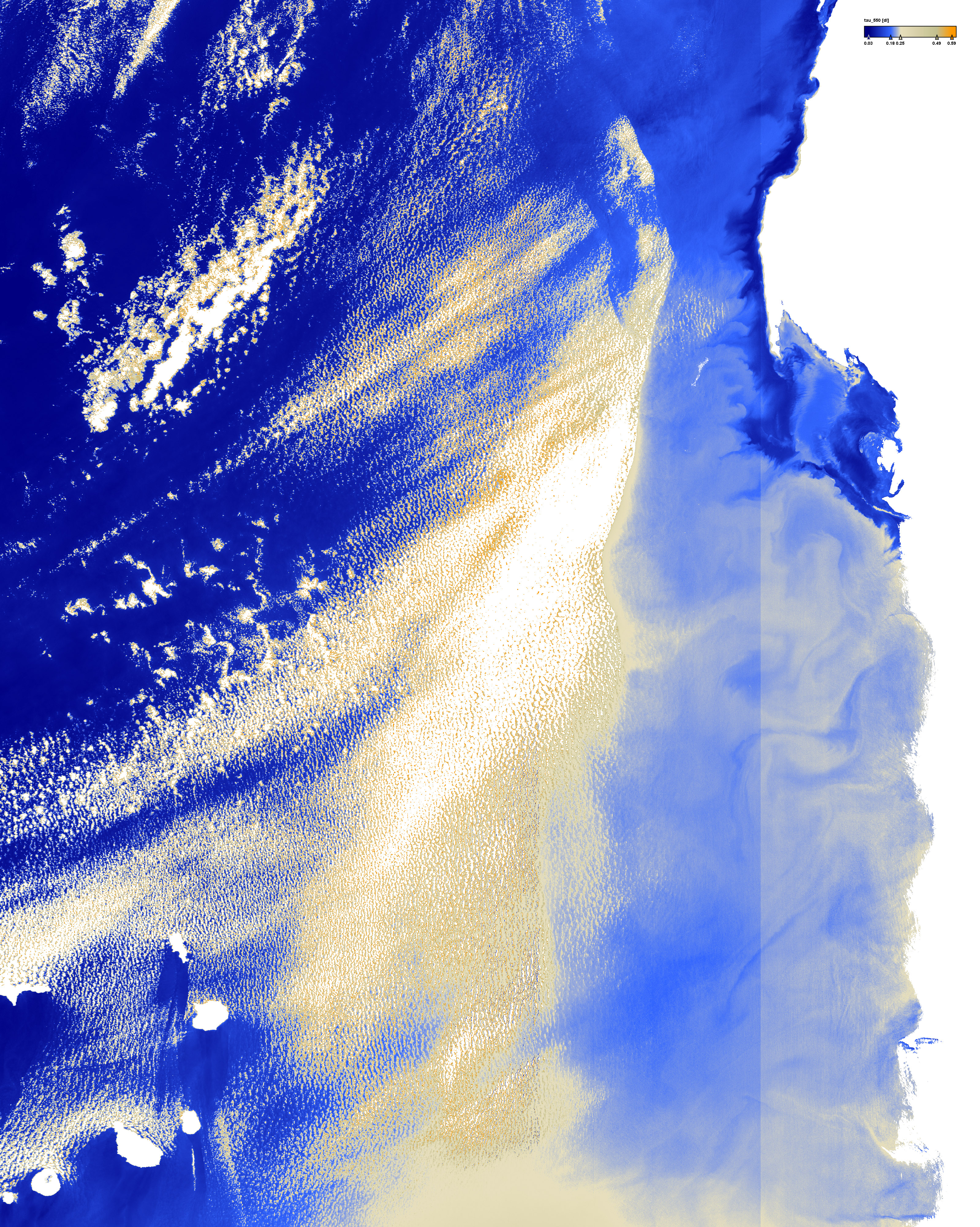
Aerosol optical thickness at 550nm


Click on the small images above to get the full resolution image (appr. 5÷6MB)
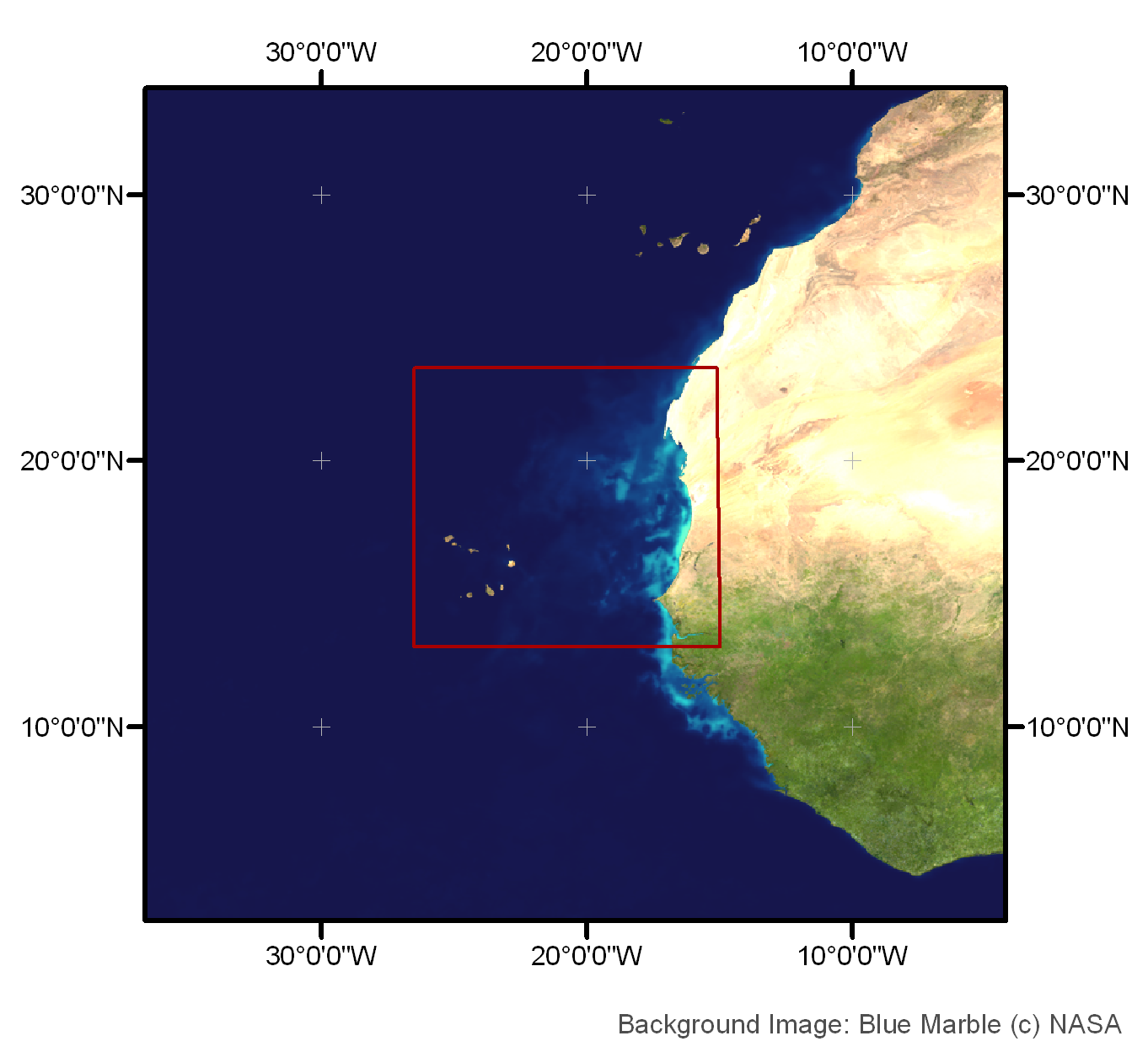
Site17: Cape Verde

Cape Verde islands, coasts of West Sahara, Mauretania and Senegal

 Site 17 in Google Earth 

 Download the sample products:
  L1P (596MB)
L2R (1079MB)
L2W (1770MB)


subset:
L1P (189MB)
L2R (325MB)
L2W (544MB)


Standard products
Experimental products
Responsible partner
  • Primary Productivity or Potential Primary Productivity
  • Phytoplankton Biomass estimates in gC m-3 or gC m-2 units
  • Concentrations of some taxonomic of functional groups such as Coccolithophorides, Cyanobacteria etc.

Cape Verde archipelago is constituted by a group 10 of volcanic islands located 1400 km apart along the African margin of the Central Atlantic Ocean. Within the archipelago are several seamounts, as for example the Senghor Seamount, with a summit depth of 90m. The bottom depth southern Cape Vert is around 3000m.
The climate of the islands is hot and dry. Hence, the surrounding ocean has no influence of freshwater whatsoever. There are very few studies around the area. But from the information available, it is an oligotrophic area, with low phytoplankton abundance.